AN NUR Integrated Survey
Specialist Survey Operations
AN NUR Marine Services
Agency & LogisticSupport Services
Provision of Marine Spread
for Offshore Survey Operation
AN NUR Integrated Survey
Offshore Survey OperationSupport Services
Positioning & Construction
Survey Support
Geophysical Survey Services
Hydrographic Survey Services
Marine Environmental Services
Specialist Survey Operations
Our range of services include:
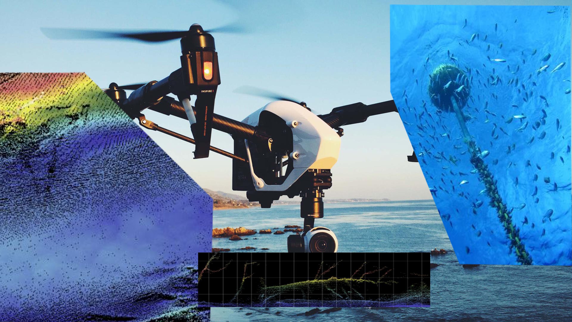
Fish Aggregating Device (FAD) Detection:
We offer innovative systems to detect submerged and drifting FADs or debris in the water
column to mitigate potential damage to vessel and towed equipment. Our methodology focuses on the top 0 to 50 meters of water column,
regardless of overall water depths, with the ability to tailor the search depth and quadrant to client’s requirements.
Drone Services
Working with local developers in Drone technology, we continue to investigate and offer new and innovative
solutions to enhance existing operations. Working closely with progressive clients for tomorrows solutions today.
LiDAR Services – Working to integrate latest airborne systems with various subsurface systems
to present a complete view from seabed to flare stack. With results of structures suitable for further development evaluation and planning.
Airborne Lidar Bathymetry (ALB) – The requirement for alternative methods to survey remote and difficult locations has
necessitated the need for remote small airborne systems. Working with some of the leading developers and progressive clients we offer the latest.
Surface Fishing Nets / Traps Detection – Working to explore new methods to expand the area of sea surface that can be
effectively checked for debris or static fishing equipment from a high-speed drone.
Survey Vessel Equipment Installation
We offer the consultancy service to review existing survey operations or new build or new installations
with the aim to design a solution for today’s complex survey requirements. With over 30 years experience covering an extensive range of global
locations and survey vessel designs and equipment layout requirements.
Survey System Deployment and Recovery Optimisation:
We offer the consultancy service to review existing survey operations and offer new methods
with the aim to design a solution to reduce risk and improve efficiency for today’s complex survey requirements.